Roofing in Clear View starts with the name variants. The assessor records show Clear View Sub Div and Clear View Sub-Div No 2, two filings under one name, and both are corroborated. The anchors are 69th, 70th, and 67th Street. Two filings under one name means one build era must never be assumed across both: each filing is checked on its own records, and the page keeps the two filings visible rather than smoothing them into one story.
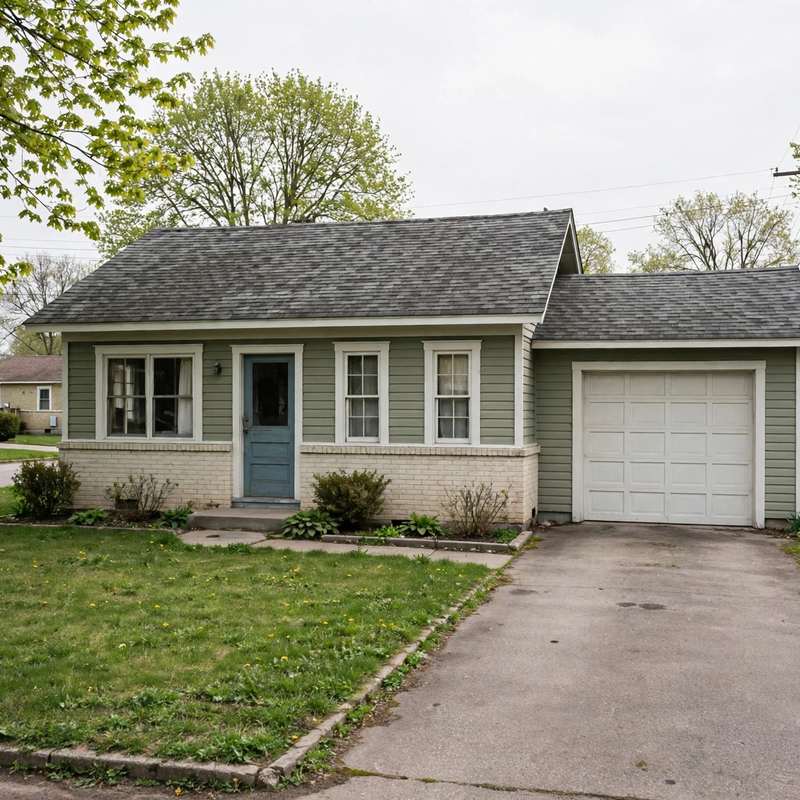
The homes are small postwar single-family houses. Sampled sizes run 1,140 to 1,428 square feet on lots of about 8,184 to 9,424 square feet, with sampled builds from 1952 to 1955. Compact roof planes follow from compact houses: smaller-scope tear-offs than the 1990s plats, with fewer planes and shorter ridge runs. Two sampled records show a year built of 1900, which is treated as placeholder or unreliable assessor data and is never published here as a build year. That trap is worth stating plainly, because a single bad field can misdate a whole street if it is copied without checking. For general background on hiring checks, see what to check before hiring a roofer in Urbandale.
69th Street is shared-street context with two other plat families: Burnstedt Acres from the 1930s and Kingswood Estates from the 1960s. All three plat attributions are kept separate by number range, and no claim about one plat is borrowed for another. The street is a chronology in three parts, and the number ranges are what keep the parts apart.
Homeowners association and covenant status is unverified, boundaries are unverified, and the 50322 ZIP association is rough only. No roof survey exists for this area, so roof condition is a lot-by-lot question answered on the roof, not from the filings.