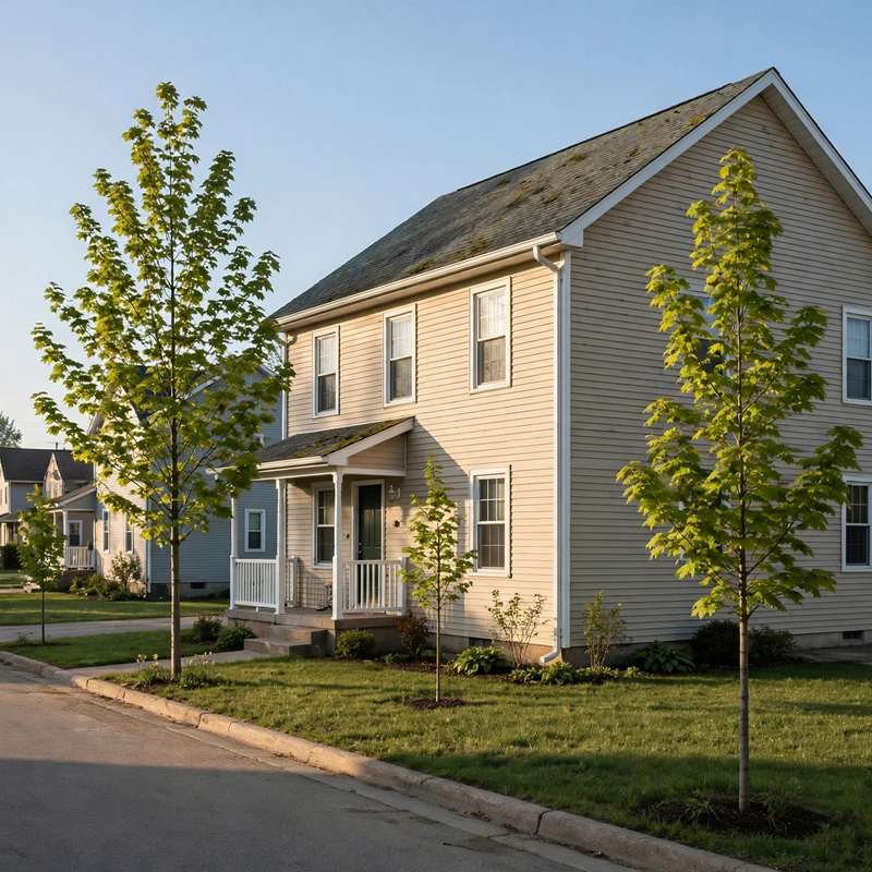
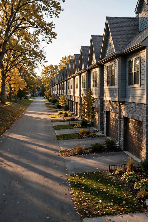
Roofing in Brook Ridge Estates starts with the name. The plat name is Brook Ridge Estates, and the shorter form, Brook Ridge, appears in records too, so both name forms are recorded here and the plat name is preferred. Plats 2 and 3 are evidenced. The evidence base names a single anchor street, Northview Drive, with sampled addresses at 6833, 6841, and 6905, which is why this page keeps a small-plat frame and does not inflate the area beyond what the records support.
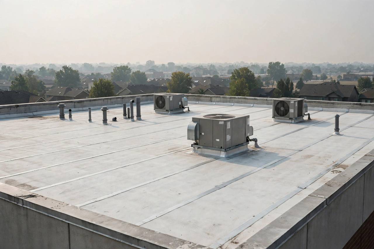
The interstate edge is evidenced, not assumed. The DUNA Amendment No. 5 legal description in Council Letter 8529 runs along Brook Ridge Estates Plat 3, Lots 18 through 20, to the Interstate 35/80 south right-of-way. Lots along that edge carry wind and debris exposure questions that interior lots do not, and the renewal-area context belongs by cross-reference to the Downtown Urbandale page rather than being duplicated here. This plat is distinct from Brookshire, and the two are never merged.
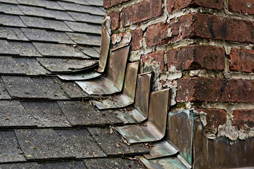
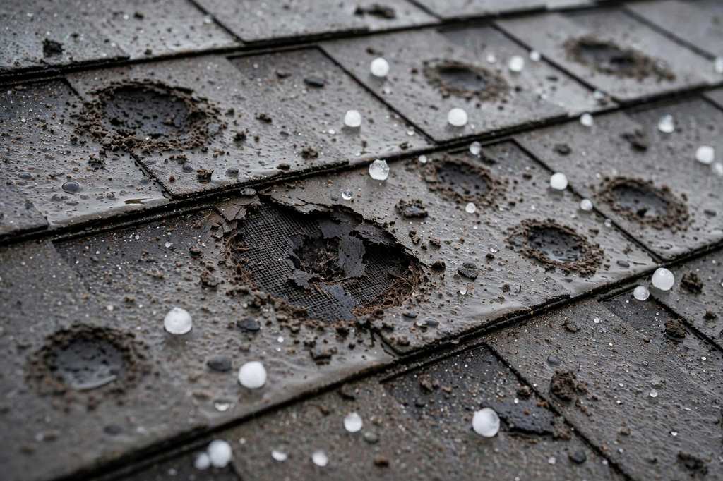
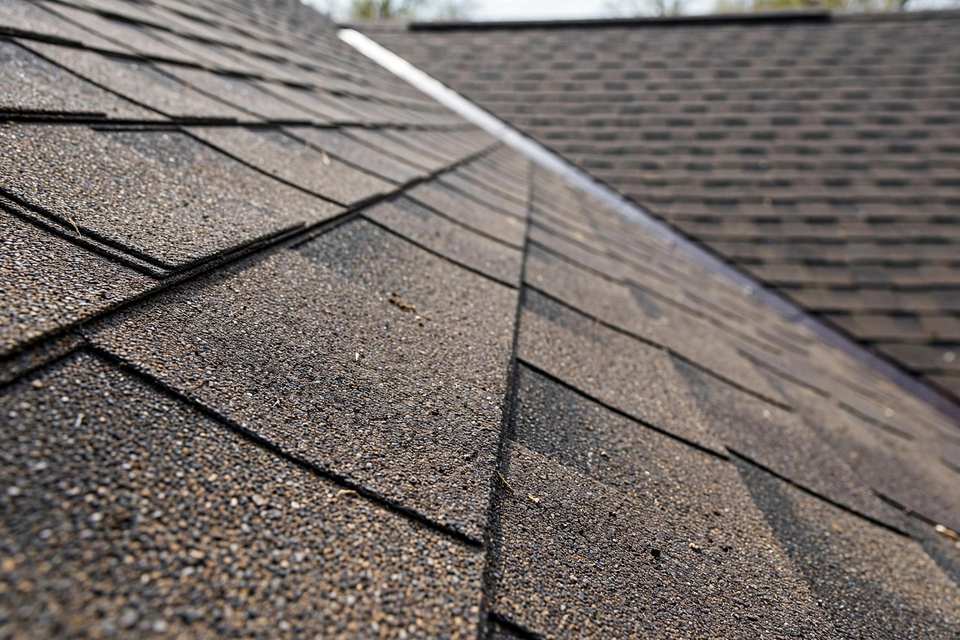
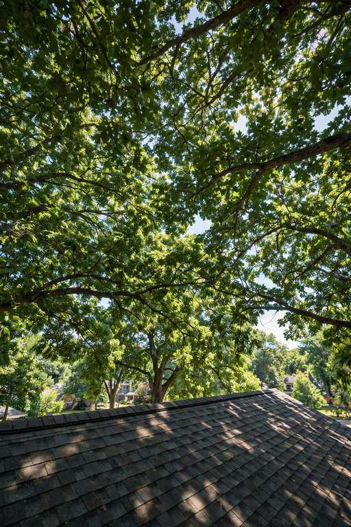
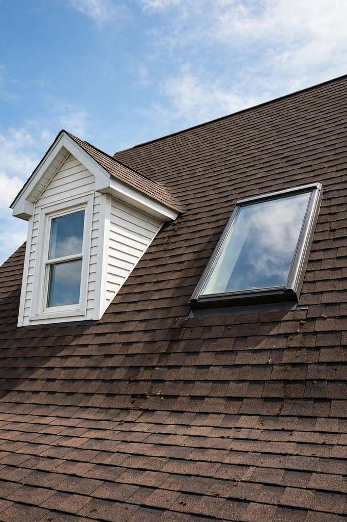
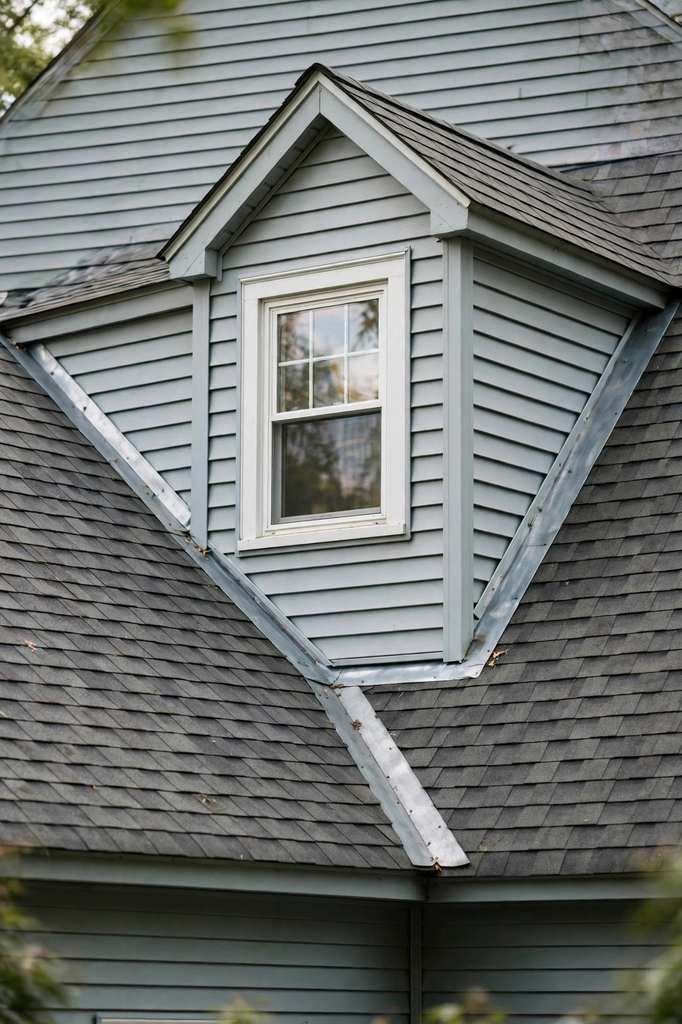
Sampled builds run from 1995 to 1998, which supports an INFERRED mid-to-late-1990s plat association for the sampled builds only. Sampled homes run 1,388 to 1,835 square feet on lots of 8,525 to 12,109 square feet. For homes of that vintage, second-cycle replacement decisions are the live question: a roof installed with the house is approaching a 30-year cycle, and the decision turns on what the roof shows now, not on the calendar alone. For the visible signs of that wear, see why shingles curl and crack.
Johnston Community School District appears in sampled records, and a school district is not a city, so no jurisdiction claim is drawn from it. Homeowners association and covenant status is unverified, boundaries are unverified, and the 50322 ZIP association is rough only. The DUNA-boundary position is noted here and developed on the Downtown page, by cross-reference rather than repetition.